Disclaimer
This website has been developed for taxonomic purposes. The information on which it is based is subject to change, correction, improvement and upgrades. There are likely to be errors, and no guarantee is supplied that information is correct. The boundaries displayed on maps and the place names used by this website do not represent any political opinion. The user is advised in all cases to verify information before accepting it.
Querying the database
Clicking the menu choice "View data" on the left hand bar leads to a page with twelve hyperlinks. The four on the left ("Fungal Lists") and the four in the middle ("Other Lists") permit the user to query the database from different starting points to obtain information about individual species. The result of each query is returned as a "Search Result" page. The remaining four hyperlinks on the right do not access the database, but simply provide supplementary information.
Format of the "Search Result" page
Each "Search Result" page starts with the name of the current species in bold followed, where available, by its authors. The organism name provides a hyperlink to full nomenclatural & taxonomic information about the species on the Cybernome website, which will open in a new window.
Next follows a summary of the status of the species in Trinidad & Tobago. Each component of the summary is displayed only when there is available information. Number of records shows the number of records in the database from Trinidad & Tobago. Date information shows the date of the earliest record from Trinidad & Tobago, and months of the year in which the species has been recorded in Trinidad & Tobago. Locations lists regions of Trinidad & Tobago from which the species has been recorded. Associated organisms lists associated organisms and substrata for the current species in Trinidad & Tobago, with a hyperlink for each associated organism to its own search page. Reference collections provides information about reference collection specimens of the current species from Trinidad & Tobago. Literature provides references and page numbers for publications giving rise to information about this species in Trinidad & Tobago. Where possible, references have hyperlinks to the full bibliographic citation in Cyberliber, the digital mycological library (which will open in a new window).
After the summary paragraph, there is an option to view component records. Clicking on this option results in the "Search Result" page being replaced by an "Individual Collections" page displaying information about the individual collections on which the summary paragraph and map (see below) are based.
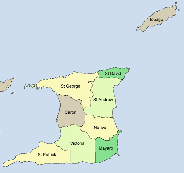
Maps. For each species, a map of the whole of Trinidad & Tobago is presented showing its distribution in Trinidad & Tobago [not available in present version].
|
Map conventions. A map with no shaded areas and no superimposed green squares indicates that the current species is known to occur in Trinidad & Tobago and there is no more detailed distributional information. Shaded areas contain at least one record accurate to province level. Individual green squares represent separate records accurate to at least 10 minutes of latitude and longitude. It is therefore possible for a single record to give rise to both a shaded area and a green square. For all maps, the green squares cover roughly an equivalent area.
Some fungi have been recorded from Trinidad & Tobago with identifications not only at species level, but also at subspecific level. In those cases, subspecific level information is not displayed separately, but is incorporated in the species level information. In the case of records with latitude and longitude data accurate to the nearest minute, the location is shown by a green square, and the centre of that square marks the point where the record was made. In the case of records with latitude and longitude data accurate to the nearest ten minutes, the location is shown by a green square, and the centre of that square marks the mid point of the ten minute square in which the record was made. This may at times make the location of recording of, for example, a terrestrial fungus appear to be in the sea. In the current version of these maps, these two categories of square are visually indistinguishable.
Additional mapping information. Please note the following points.
| Previous page
Home page |